

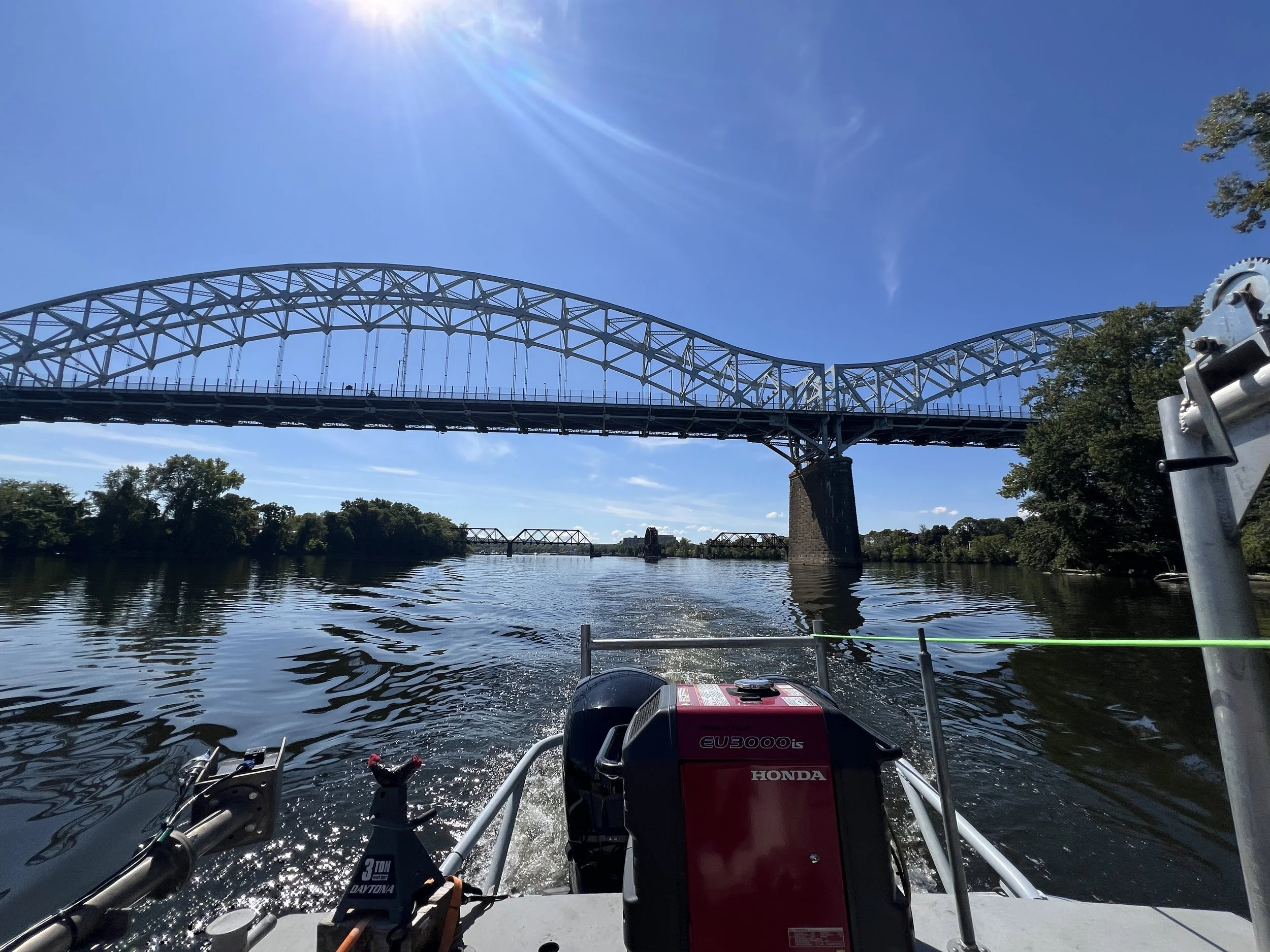
Location: Connecticut River, Hartford, CT Area
Technologies: Multibeam Sonar, Sidescan Sonar, Marine Magnetometer
PROJECT SUMMARY
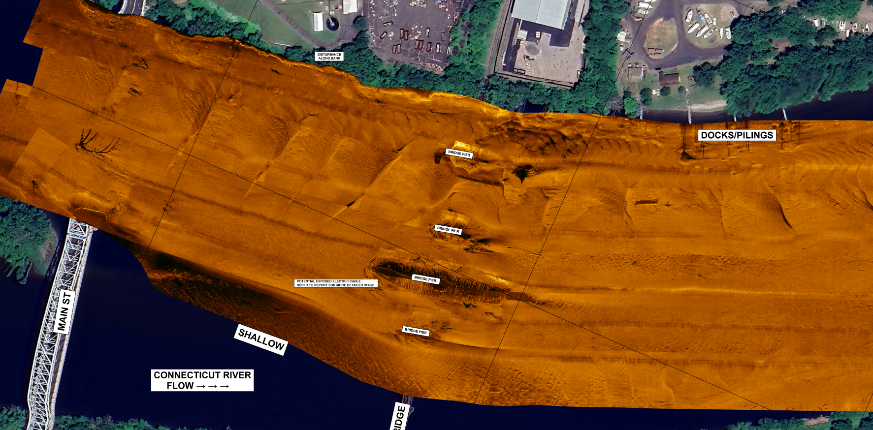
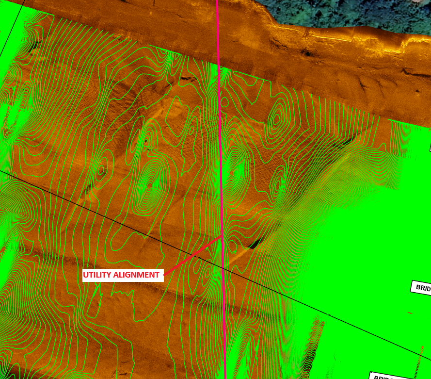
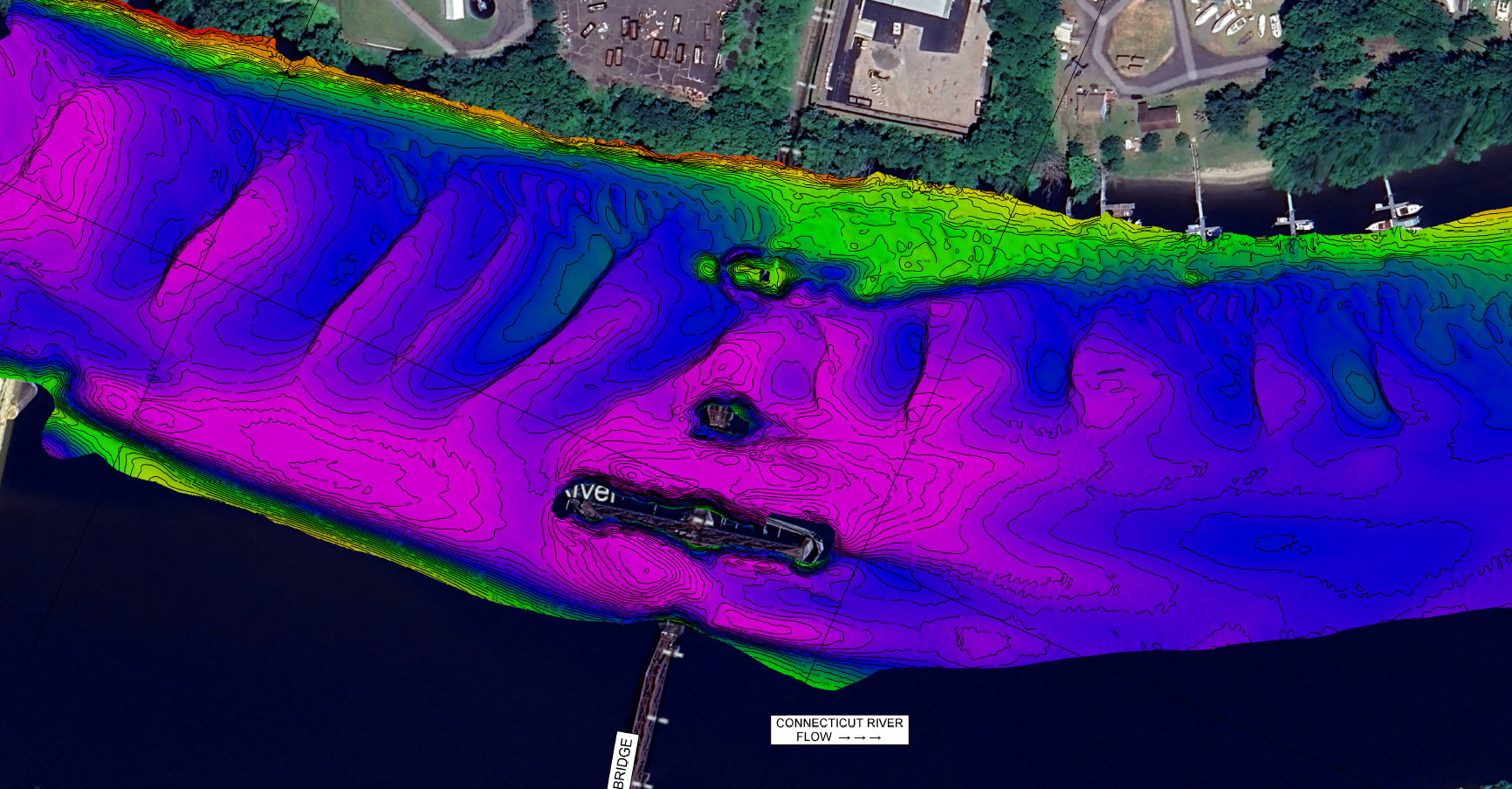
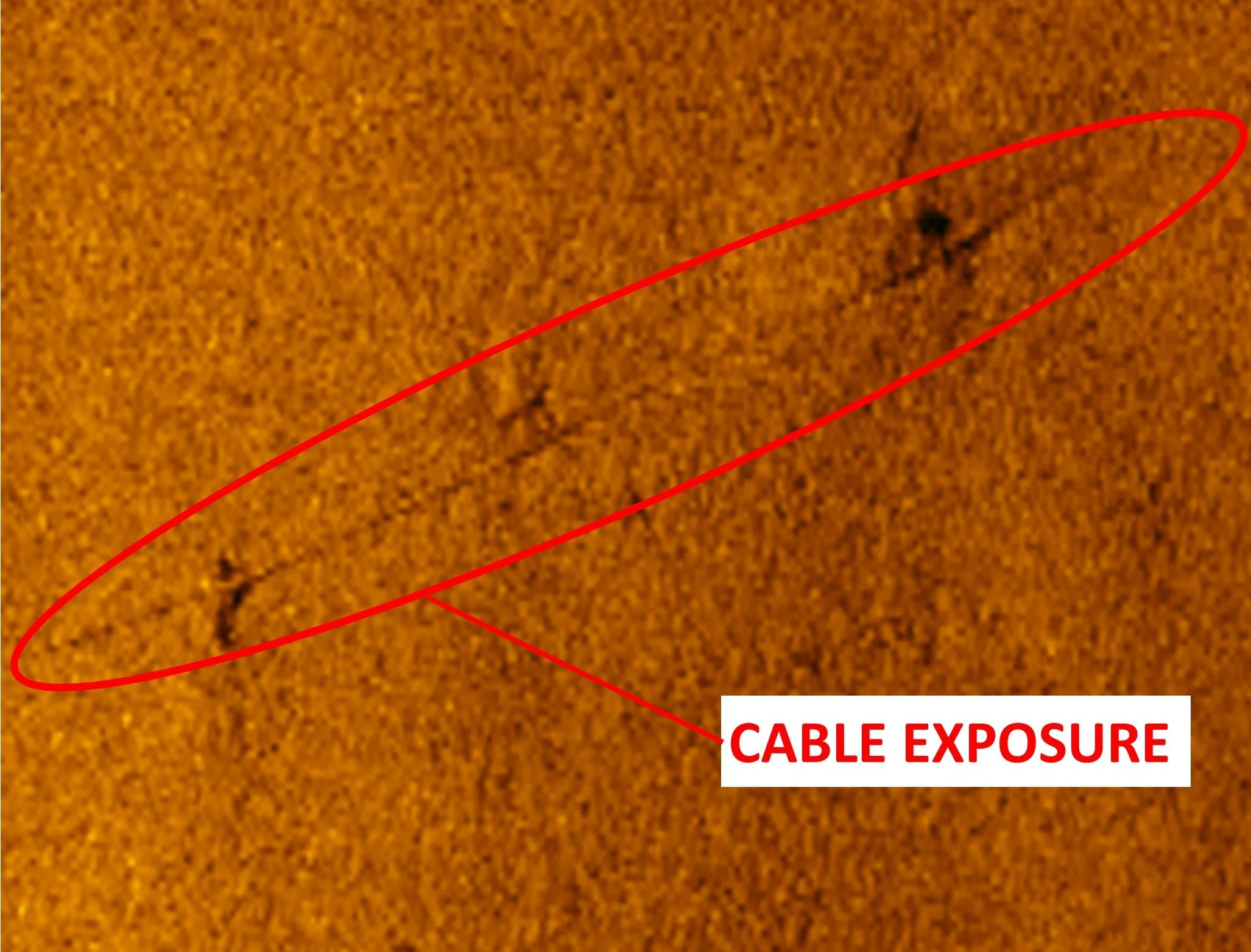
Seaworks was tasked with locating a underwater electric cable to support remedial design for an environmental dredging project. The site was first surveyed using full-coverage multibeam sonar to assess bathymetric conditions. Next, a marine magnetometer was used to locate ferrous metal objects and electromagnetic anomalies. From this data, a probable alignment was generated for the buried cable.
Finally, and Ultra-High Resolution sidescan sonar was used for the highest level imagery of the site. From this sidescan data, an exposure point of the cable could be clearly identified even though the cable was less than 2" in diameter. The sidescan sonar mosaic was overlayed with the marine magnetometer data to cross-reference the two datasets and confirm the cable alignment.